Recovered File #004
The Viking Space Program
The first object to leave the world was built where the North Atlantic meets fire.
- Class
- Alternate History
- Status
- Recovered file, reconstructed in full
- Record
- Early orbital engineering
- Source
- The Reykjanes ash-house records
- Filed
- Jul 16, 2026
The oldest account is not a saga. It is a list of damaged tools, copper weights, and sheep bought for their fat.
The list was found in a church storehouse at Hólar, copied in the hand of a man who had no interest in explaining what any of it meant. There are entries for charcoal, sailcloth, iron hoops, sulphur scraped from the yellow ground, and a quantity of saltpeter so large that the clerk paused long enough to note the cost. At the end of the page, beside an item simply called the long vessel, he wrote that the workmen had left for Reykjanes before the winter sea closed.
For centuries, that was taken to mean a ship.
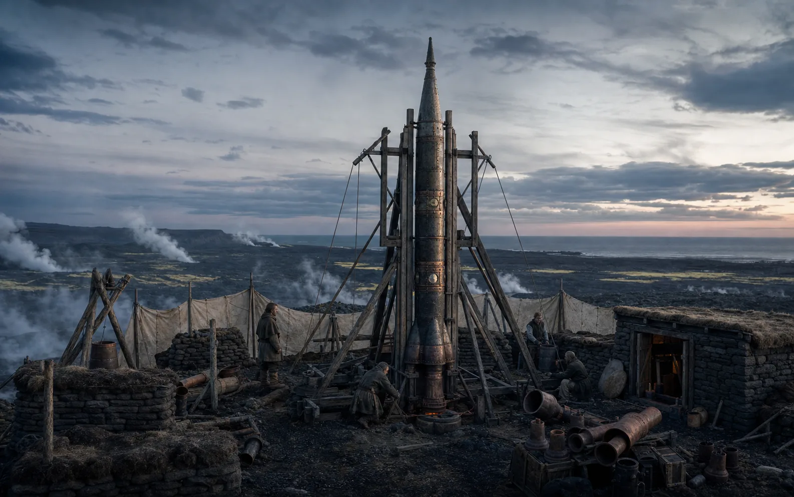
It was not a ship. It was a narrow iron-bound tube raised upright on a lava field at the edge of the Atlantic, built by men who had spent their lives understanding wind, weight, and the violent pressure of things confined too tightly. Their first purpose was not the moon, nor the stars, nor any idea that would have sounded like a modern dream. They wanted to know what lay above the high cloud that trapped the northern light. The answer required a machine willing to leave the world for a few minutes and return broken.
The fire beneath the north
The divergence began with an accident in a geothermal shed.
Icelandic smiths had long known that the ground could be made to do work. Steam lifted lids, shook timbers, and burst through careless stonework with a force no rowing crew could match. In the first years of the twelfth century, a maker from Borgarfjörður named Þorsteinn Hrafnsson began using that pressure to drive a crude pump for a salt works. He failed often. The valves cracked. The leather seals cooked hard. One apprentice lost two fingers when a copper chamber let go. But the apparatus taught them a useful lesson: when a force escaped through a narrow opening, it did not merely make heat and noise. It moved the thing that contained it.
The first flying vessels were little more than sealed wooden tubes with clay nozzles, made for festival demonstrations and for frightening rival crews at a distance. They climbed badly and fell wherever the wind preferred. The real change came when Þorsteinn’s successors stopped treating the fire as an effect and began treating it as a measure. They weighed powders. They recorded the diameter of outlets. They learned to replace the fragile wooden body with thin riveted iron, then to line the chamber with fired ceramic where the heat was worst. It was slow, expensive work, carried on in obscurity because every failed test looked, to a sensible observer, like a small explosion in a field.
The Norse world was unusually suited to keep that sort of foolishness alive. Ships connected distant settlements. Sagas preserved names and methods. Iceland had space, sulphur, iron brought in by trade, and a landscape already so violent that another plume of smoke did not immediately call a crowd. The work stayed practical. A signal that could climb above fog might save a fishing fleet. A fire-tube carried from a high ridge could mark a safe passage through drifting ice. Every small success paid for the next, until a group of craftsmen and navigators on Reykjanes began working toward an object that could rise high enough to see the curve of the sea.
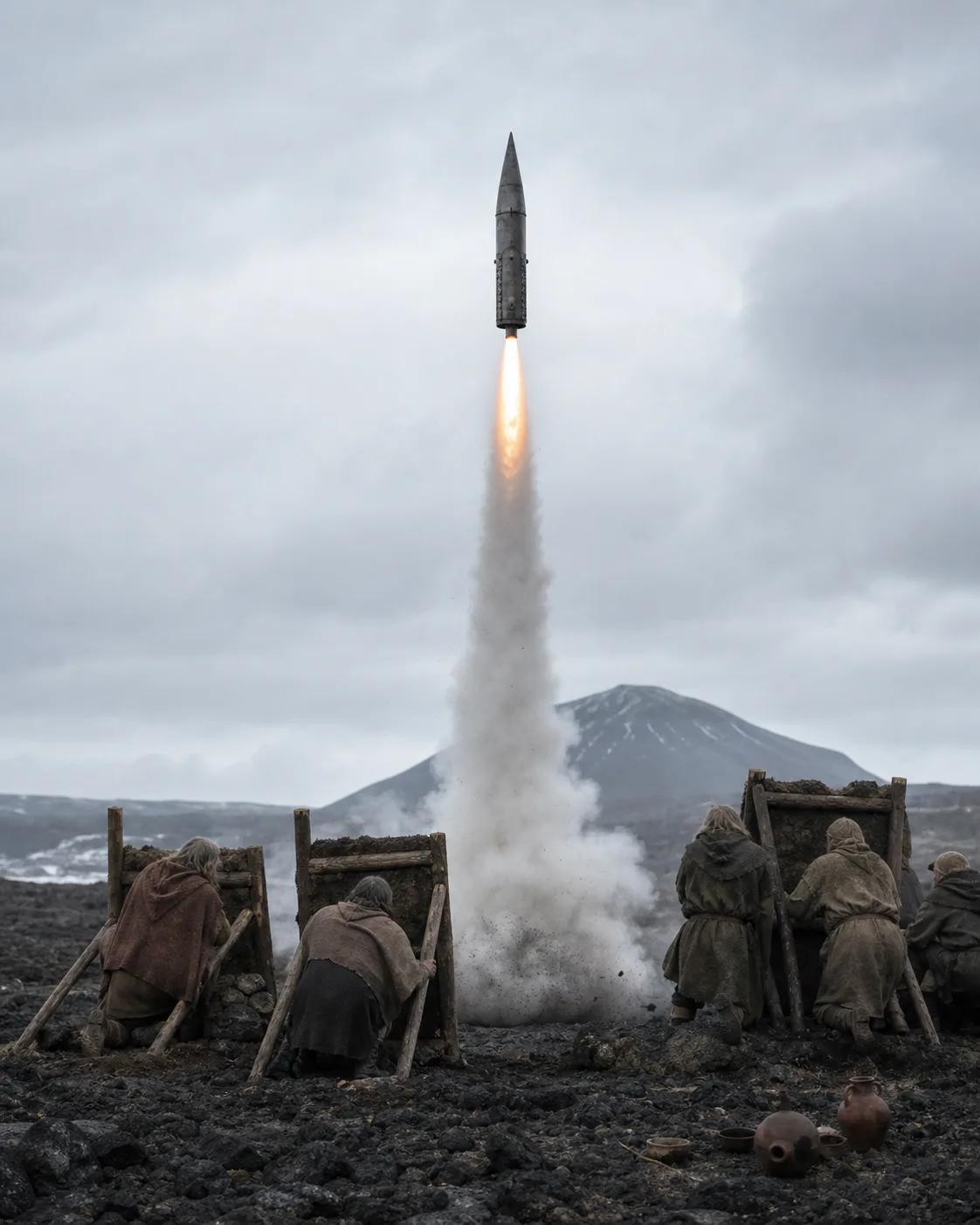 Recovered reconstruction. The first ascent from Reykjanes.
The long vessel
The first serious launch took place in the summer of 1168, on a morning remembered mostly for its lack of wind.
The long vessel was taller than a house but narrower than a mast, its iron skin dark with oil and its seams bound in hoops of hammered bronze. There was no steering cabin and no human passenger. Its makers had given it two instruments: a sealed drum whose inked needle marked the changing weight of the air, and a small polished mirror set in a box with a shutter. If the vessel returned, the mirror might carry a picture made by sunlight. If it did not, they would at least know how far the sound travelled before it was gone.
The witnesses stood behind low walls of turf and stone. They had no word for a countdown. The surviving account says only that each man gave the next a nod until no one remained to be asked. When the powder caught, the vessel did not leap cleanly upward. It trembled against its guide frame, vanished into its own white smoke, and then climbed with an ugly, unwavering purpose. People on the coast saw it as a red point crossing the thin cloud. Sailors thirty miles away heard it after it was already invisible.
It did not reach space. Not then. It broke high above the sea and scattered a trail of burning fragments over empty water. Yet one piece of the instrument box was recovered from a beach two days later. The ink line inside it had fallen farther than any mountain air could explain. The mirror was shattered, but its protected back held a pale smear: black at the top, blue below, and a white curve that the account described as “the rim of the weather.”
No one who saw that fragment could again claim that the sky was a ceiling.
A harbor built for vertical ships
The next fifty years made the enterprise ordinary in the only way dangerous work can become ordinary: through carpenters, ledgers, quarrels over pay, and too many funerals to preserve in a single heroic story.
Reykjanes grew around the launches. Warehouses stored sulphur away from open flame. A forge produced identical iron rings by the hundred. Women in the settlement became skilled at spinning the tightly woven sailcloth used for recovery chutes and instrument bags; their work was priced as carefully as ship canvas. Farmers delivered charcoal under contract. Clerics calculated tables of winds, not because the church had suddenly approved of the sky-vessels, but because every expedition wanted the same clear mornings and someone had to remember which ones had ended badly.
The technology did not leap forward. It accumulated. A two-stage vessel separated more cleanly after a crew began packing its joint with waxed wool. A new ceramic throat survived long enough to give the upper vessel another minute of thrust. A simple weighted flap stopped a returning capsule from tumbling into the sea. Each improvement was conservative, almost dull, until the combined result became something no one could dismiss as a trick.
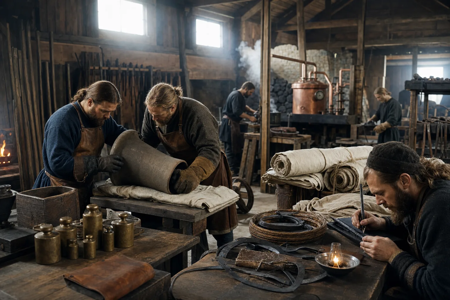 Recovered reconstruction. The Reykjanes works.
In 1211, a vessel called Hrafn went high enough that its pressure drum drew a line nearly flat at the top. It returned by parachute onto the inland moss, carrying a pinhole image that took months to understand. In the image, Iceland was not an island in the familiar sense. It was a pale wedge of land beneath a darkening sky, edged by a sea so broad that the men who made the picture refused at first to call it a sea at all. The horizon had curved away from them.
The image travelled south through Europe as a curiosity, then as a problem. It did not overturn navigation overnight. It did something slower and more troublesome: it gave a few mapmakers, shipowners, and scholars a physical object that made old certainties look provincial. The world could be measured from above. The heavens could be entered. And the sea that seemed to end at the edge of every map had no visible edge from the place the Norse machine had gone.
The men who would not come down
The first person to leave the atmosphere was not meant to be a hero.
By the middle of the thirteenth century, the Reykjanes works had built a pressure capsule no larger than a coffin, wrapped in felt, copper, and sealed leather. It was designed to test a new recovery system with a pig or a goat inside. The records disagree about why an apprentice navigator named Sigríðr Ásbjörnsdóttir climbed in instead. Some say she believed the animal would not survive the cold. Others say a launching crew had no money left to lose another vessel on a test that told them nothing. Her own surviving note, scratched into the margin of a navigation table, reads only: “Someone must see it without a mirror.”
She was tied beneath a bank of water jars and launched at first light. The ascent was violent enough to crack two ribs. At altitude, the rocket began its planned spin, slow and deliberate, and the capsule window faced outward.
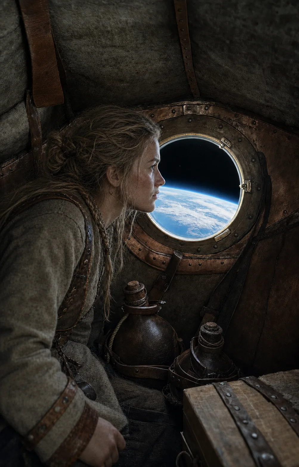 Recovered reconstruction. Sigríðr above the weather.
What Sigríðr later described was not a kingdom in the clouds. There was no shining road, no choir, no sign that the old stories had been waiting above the weather. There was only blackness, unbroken and immediate, with the world below it turning blue at the edge. She saw the ice sheet like a white shield. She saw the north Atlantic without its waves. She saw the thin, frightened layer of air that held every farm, ship, market, and grave her people had ever known.
Her parachute opened too late. The capsule struck a lava slope hard enough to splinter the lower frame, but the water jars held and she lived. The recovery party reached her before nightfall. The first question they asked was whether heaven was there. Sigríðr, unable to stand, asked for a cup of water and said that heaven, if it existed, was farther away than anyone had promised.
The age of high maps
The true consequence was not conquest of space. It was the end of a particular kind of isolation.
The Norse could not turn their launch works into a modern space program by will alone. They lacked machine tools, reliable chemistry, and the enormous industrial base that later ages would take for granted. Most launches failed. Several settlements refused the work after debris and fire killed people near the range. But the knowledge spread anyway. Coastal states funded high-altitude instruments. Universities traded copies of the first photographs. Cartographers began leaving empty margins on their maps not for monsters, but for measurements they had not yet learned how to make.
In time, the Reykjanes launch field became a place of pilgrimage for a less romantic reason than later generations preferred. It was a workshop. Its doors were scarred. Its accounts were late. Its engineers argued over nozzle shapes and weather tables while their children learned to read beside crates of sulphur. The people who changed the sky were not imagining an empire among the stars. They were trying, day after day, to get one more instrument home intact.
The last preserved image in the Hólar records was taken in 1279. It shows the North Atlantic from a height none of its sailors could have imagined: cloud spun over dark water, Iceland a small broken white shape at the edge of the frame, and beyond it the curve of the world fading into blue.
At the bottom, a later hand had written one line.
We were never under the sky. We were always inside it.
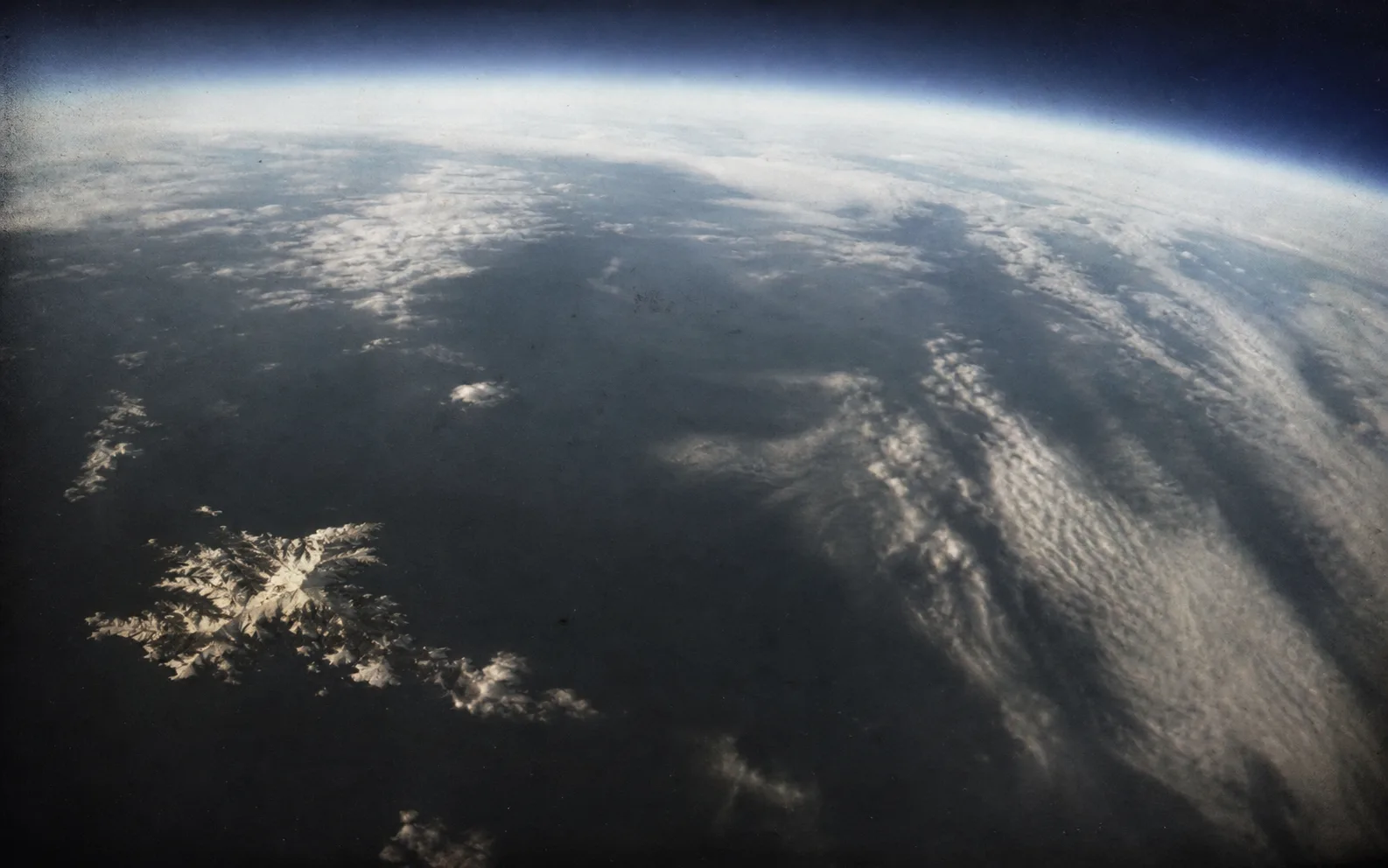 Recovered reconstruction. The high map.